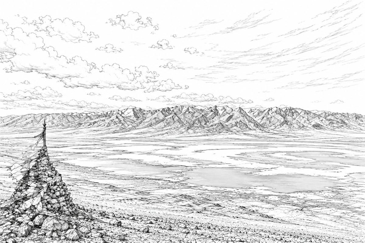
Plate Note: Tsaidam / Qaidam Plain (Mongolian: Цайдам): an AI-generated monochrome pen-and-ink vision of the vast high-altitude basin landscape of present-day Qinghai, lying at approximately 2,600–3,000 m above sea level and enclosed by the Altun / Altyn-Tagh Mountains to the northwest, the Qilian Mountains to the northeast, and the Kunlun Mountains to the south. Traversed by historic Inner Asian routes linking Mongolia, Tibet, Central Asia, and China, the region has long formed part of the cultural and spiritual geography of Inner Asia. Co-composed through human-guided AI image generation and compositional editing. C. Pleteshner, 17 June 2026.

Plate Note: Tsaidam / Qaidam Plain (Mongolian: Цайдам): an AI-generated monochrome pen-and-ink vision of the vast high-altitude basin landscape of present-day Qinghai, lying at approximately 2,600–3,000 m above sea level and enclosed by the Altun / Altyn-Tagh Mountains to the northwest, the Qilian Mountains to the northeast, and the Kunlun Mountains to the south. Traversed by historic Inner Asian routes linking Mongolia, Tibet, Central Asia, and China, the region has long formed part of the cultural and spiritual geography of Inner Asia. Co-composed through human-guided AI image generation and compositional editing. C. Pleteshner, 17 June 2026.

Plate Note: Tsaidam / Qaidam Plain (Mongolian: Цайдам): an AI-generated monochrome pen-and-ink vision of the vast high-altitude basin landscape of present-day Qinghai, lying at approximately 2,600–3,000 m above sea level and enclosed by the Altun / Altyn-Tagh Mountains to the northwest, the Qilian Mountains to the northeast, and the Kunlun Mountains to the south. Traversed by historic Inner Asian routes linking Mongolia, Tibet, Central Asia, and China, the region has long formed part of the cultural and spiritual geography of Inner Asia. Co-composed through human-guided AI image generation and compositional editing. C. Pleteshner, 17 June 2026.

Plate Note: Tsaidam / Qaidam Plain (Mongolian: Цайдам): an AI-generated monochrome pen-and-ink vision of the vast high-altitude basin landscape of present-day Qinghai, lying at approximately 2,600–3,000 m above sea level and enclosed by the Altun / Altyn-Tagh Mountains to the northwest, the Qilian Mountains to the northeast, and the Kunlun Mountains to the south. Traversed by historic Inner Asian routes linking Mongolia, Tibet, Central Asia, and China, the region has long formed part of the cultural and spiritual geography of Inner Asia. Co-composed through human-guided AI image generation and compositional editing. C. Pleteshner, 17 June 2026.